Instrument
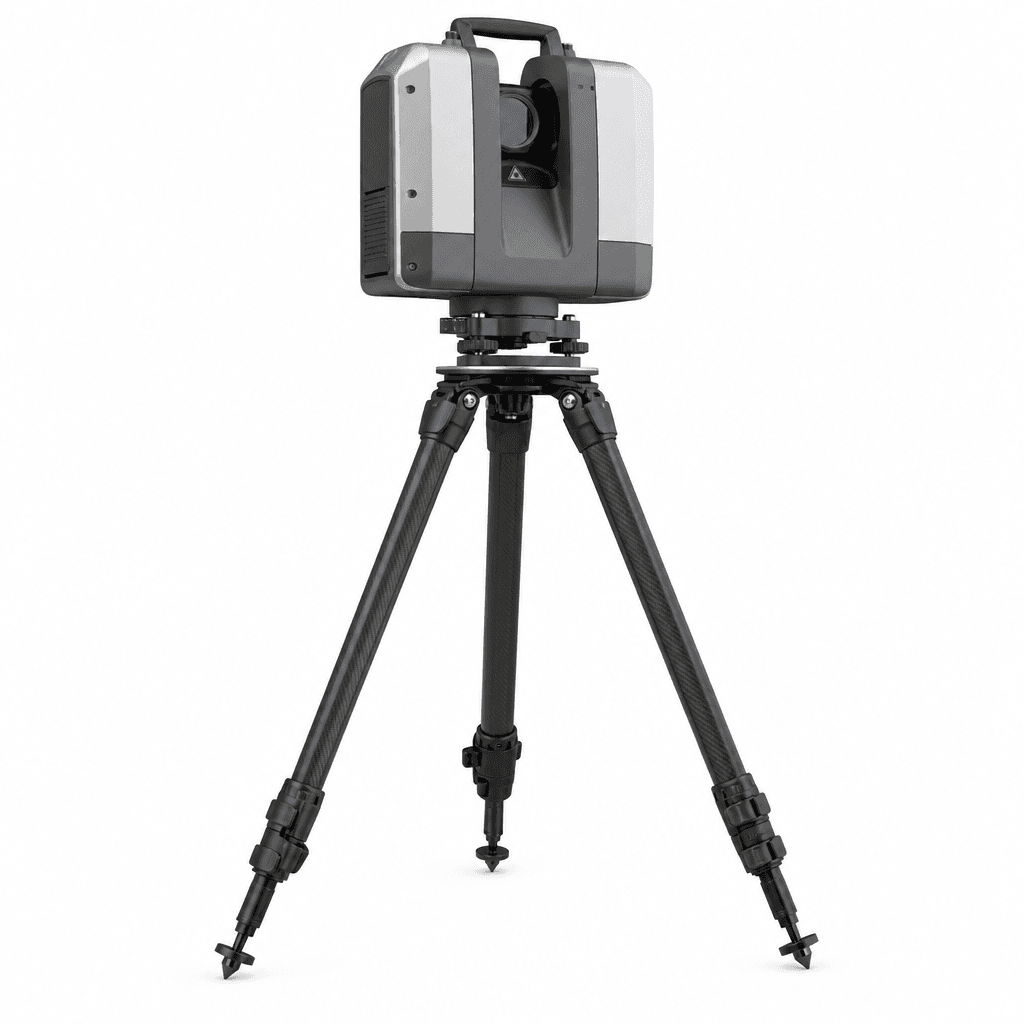
Scanner LiDAR
Millions of points. One setup.
Capture dense, survey-ready point clouds in a single setup. Our terrestrial LiDAR scanner supports as-built documentation, BIM coordination, and complex site modeling with fast registration workflows.
Overview
Terrestrial 3D LiDAR scanner for as-built capture, BIM, heritage documentation, and dense site models with survey-grade registration.
Key features
- High-density scan
- Tripod mount
- HDR imagery
- Field workflow
Applications
- As-built capture
- BIM coordination
- Heritage documentation
- Plant & infrastructure