Accuracy You Can Trust
PerformanceYou Can Rely On.
Premium surveying & geomatics solutions for professionals who demand precision—engineered for crews who measure the planet with absolute confidence.
New Arrival
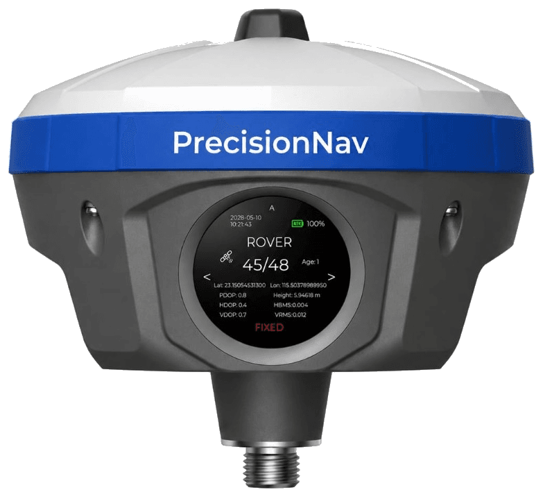
PrecisionNav PN100 Dual Camera & Laser DGPS
Engineered for precision. Built for the field. The next-generation DGPS with dual-camera & laser technology.
View Details- Laser Range
- 100 M
- Radio Range
- More Than 25 KM
- GSM Range
- More Than 60 KM
Dual Camera
For enhanced visual accuracy
Laser Technology
Precise measurements up to 100m
Multi-Connectivity
Radio, GSM & more for flexible use
Advanced AutoCAD
Tools for smarter field workflows
Our Products
Precision Equipment for Every Survey Need
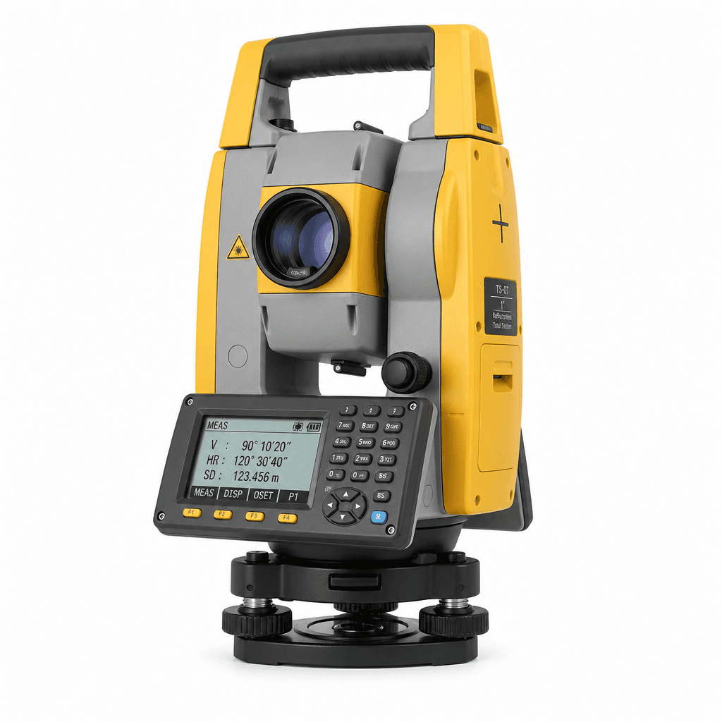
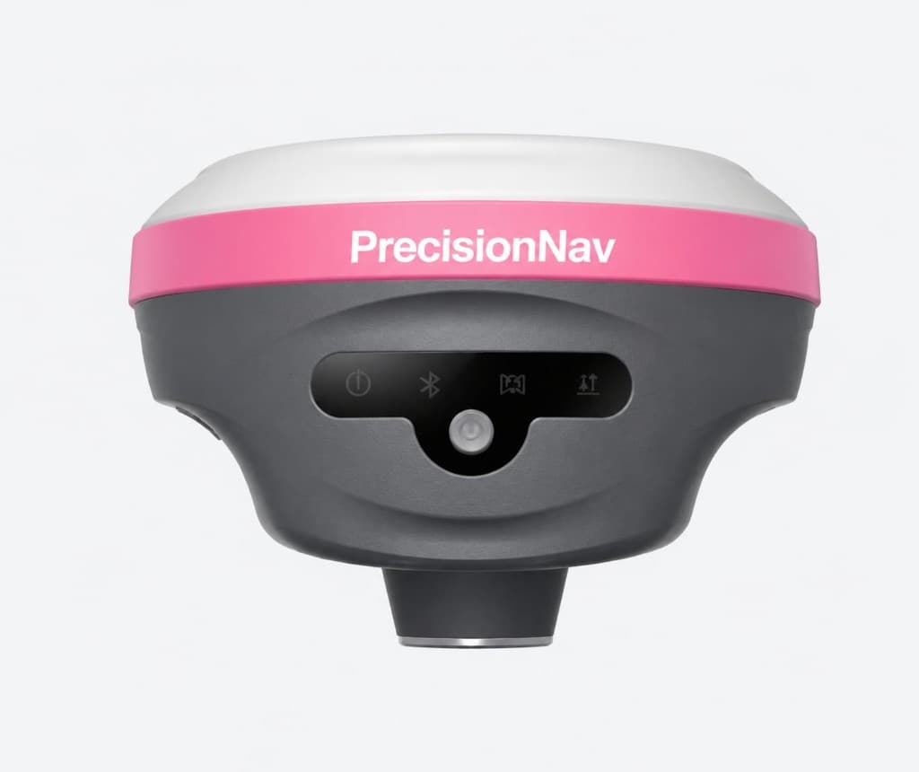
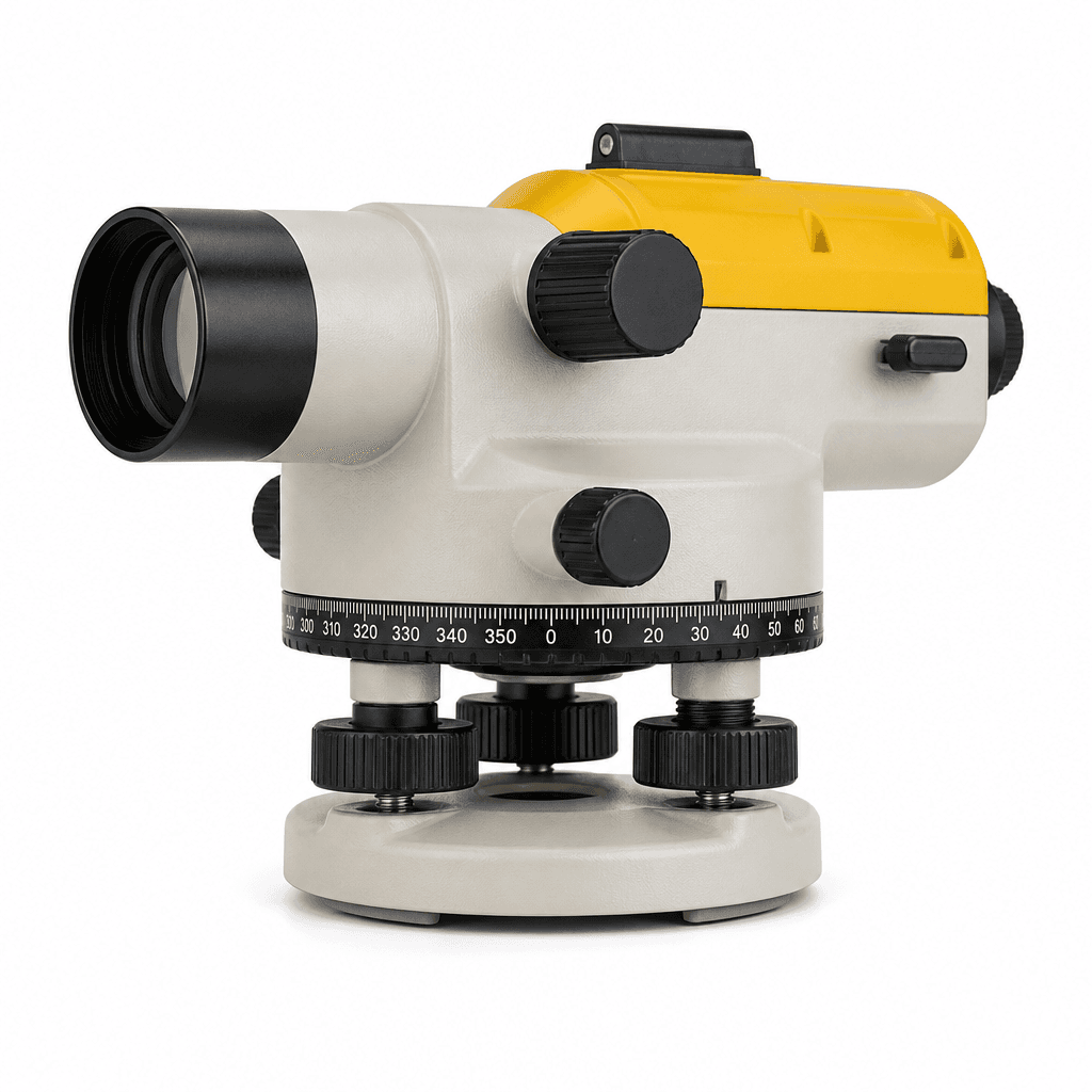
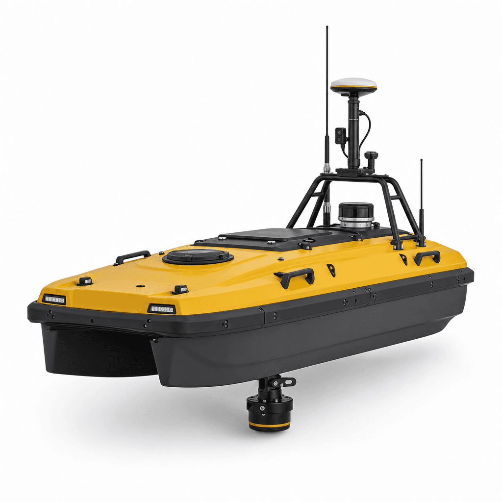
Total stations, DGPS, auto levels, survey boats, LiDAR scanners, echosounders—and the accessories that keep crews measuring every day.
About Us
Your Trusted Partner in Survey & Geomatics
At Precision Nav Survey & Geomatics, we are dedicated to delivering cutting-edge surveying solutions backed by expertise, reliability, and customer support. Our mission is to empower professionals with the right tools for accurate data and smarter decisions.

500+
Clients worldwide
1000+
Projects delivered
10+
Years of precision
50+
Countries served
Technology
Inside the PrecisionNav platform
One receiver, engineered as a complete system—vision, laser, radio, and CAD working together in the field.
Dual Camera & Laser DGPS
PrecisionNav fuses dual-camera visual intelligence with laser DGPS for enhanced accuracy in the field—see exactly where you stake before you mark it.
AR Stakeout
Augmented reality guidance for faster, smarter point staking.
Laser Range
Class-leading reach for dense or obstructed sites.
Radio Range
Base-to-rover radio link engineered for remote corridors.
GSM Range
Cellular correction network coverage across the region.
Advanced AutoCAD Functions
Powerful CAD tools onboard for complex designs—draft, edit, and verify without leaving the field.
Built for Every Terrain
Reliable performance in heat, dust, rain, and altitude.
Rugged & Reliable
IP-rated housing engineered for real-world surveying, every day.
Services
Precision, commissioned and cared for
From specification to field support—partner with engineers who speak survey.
- 01
Survey Consultation
Needs analysis and instrument selection tailored to your accuracy, terrain, and workflow constraints.
- 02
Field Deployment
On-site commissioning, base/rover setup, and network RTK configuration by certified engineers.
- 03
Calibration & Service
Factory-traceable calibration, firmware updates, and repair with documented certificates.
- 04
Operator Training
Hands-on training for crews—controller workflows, QA/QC, and best practices in the field.
- 05
24/7 Technical Support
Priority remote support for mission-critical projects with escalation to product specialists.
- 06
Extended Care Plans
Multi-year protection plans covering accidental damage, loaner units, and priority turnaround.
500+
Clients worldwide
1000+
Projects delivered
10+
Years of precision
50+
Countries served
Trusted by engineering leaders
Testimonials
Field voices, not marketing claims
“Precision Nav instruments cut our stakeout time in half. The RTK reliability in canopy is unmatched.”
Process
From discovery to continuous precision
A disciplined engagement model that keeps instruments, crews, and data aligned.
01
Discover
We map your accuracy requirements, environments, and delivery timelines.
02
Specify
Instrument suites and software stacks are configured for your crews.
03
Deploy
Field engineers commission systems and validate against known control.
04
Empower
Training, documentation, and ongoing support keep precision continuous.
Contact
Talk to a precision specialist
Tell us about your project accuracy targets, environment, and timeline. We'll recommend the right instrument suite.
- Office
- Teheran-ro, Gangnam-gu, Seoul 06236, South Korea